


3D Location Map
The location in 3D. With the scheme on its site.
An interactive map with the city in 3D, routes and points of interest in the area.
Illustrative reference images. Each experience is produced from the scheme's design and 3D model.
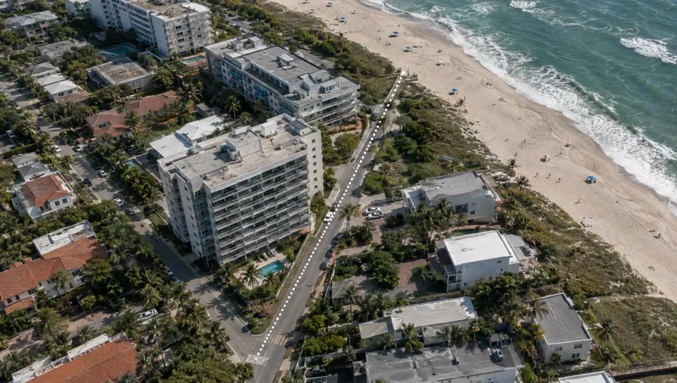
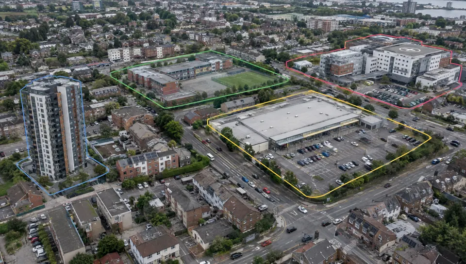
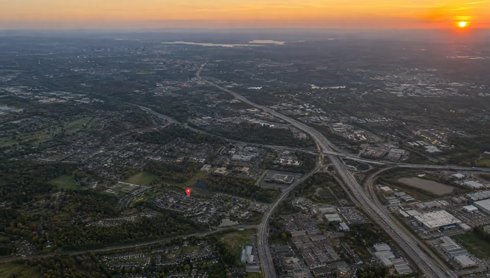
The 3D location map shows the development in its real place, with the city around it. Buyers see routes to the station, the beach, schools and shops, with distances and journey times, and the scheme highlighted on its site. It works on the website, in the sales suite and in investor presentations.
Location is a selling point
In many launches, the address sells more than the floor plan. A flat map with pins does not show the real distance to the beach, the way to the station or how the building relates to the park. On the 3D map, buyers see the city as it is and understand why that site was chosen.
For investors and partners, the same map presents the location case in a few seconds.
How the map is built
We use the city's 3D base when the area has coverage, or model the surroundings when it does not. The development goes in with the launch model, at the correct position and scale, and is visually highlighted.
Routes, distances and points of interest are defined with the sales team and appear in sequence, like a presentation script.
Deliverables
What's included
Interactive 3D map
The city in 3D with the development highlighted and free navigation.
Routes and points of interest
Routes, distances and markers defined with the sales team.
Flyover video
A recorded flyover of the map for social media and presentations.
How it works
How it works
- 01
Briefing and files
We get to know the launch, the target buyer and where the experience will be used, and review the available model and plans.
- 02
Scene and script
We build the 3D scene and agree with the sales team on the script, the points of interest and the data shown.
- 03
Test version
You navigate a test version on computer and mobile and request the adjustments included in the scope.
- 04
Publication
We deliver the link, the code for the website and the sales suite version, with the file size tested on real devices.
Portfolio
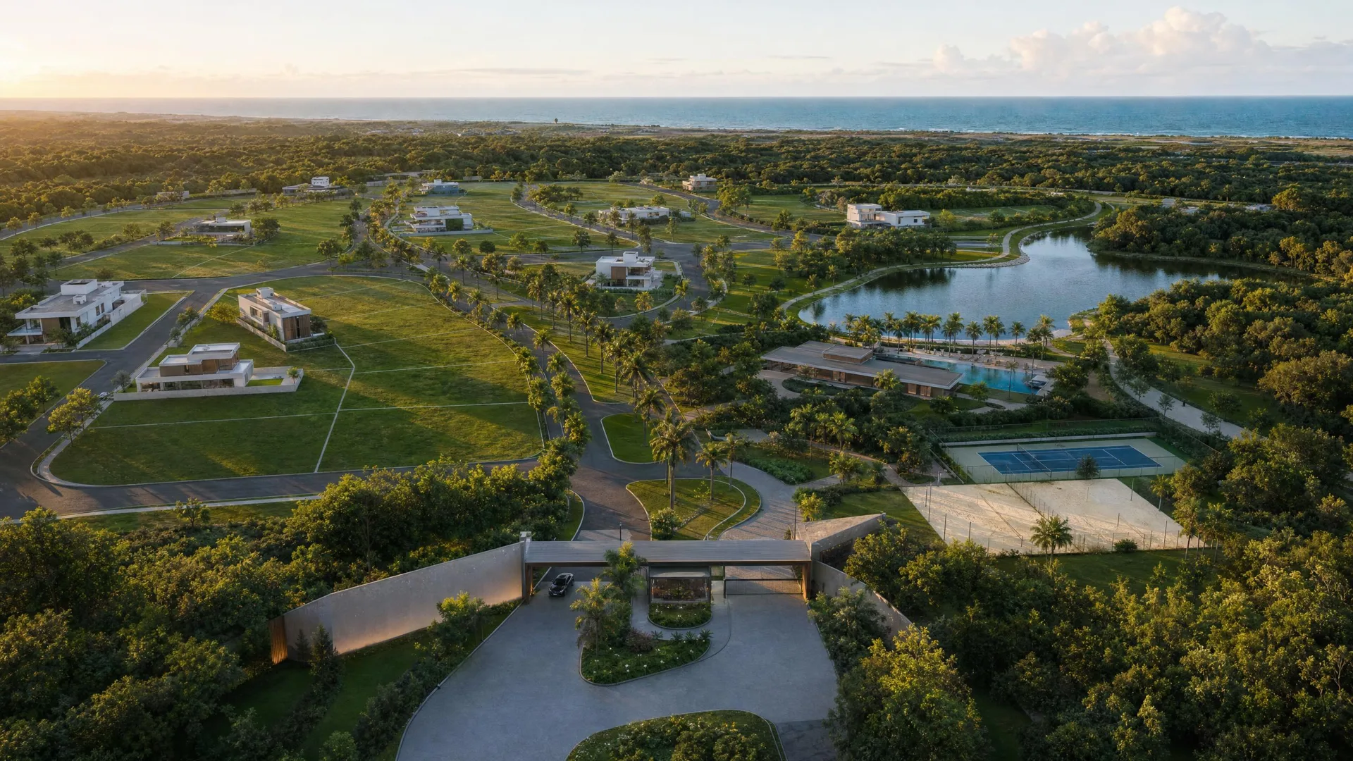
3D Location Map projects
Why Render Fabrik
Why choose our 3d location map?
The real city
A 3D base of the city wherever coverage exists, or surroundings modelled by us where the area has none.
Routes and distances
Routes to the places that sell the address, with walking or driving time.
The scheme on its site
The development is placed on the map at the correct scale and position.
Investment
How much it costs
The investment depends on the size of the scene, the interactive layers and the material that already exists for the launch. The proposal sets out deliverables, revisions and lead time.
- 3D coverage of the area or the need to model the surroundings
- Number of routes and points of interest
- Integration with the 3D Development World or the unit selector
- Flyover video included
We send the proposal once we know the project and where the experience will be used.
Frequently asked questions
Frequently asked questions
- Does the map use the real city?
- Whenever the area has 3D map coverage, we use the real city as the base. Where it does not, we model the surroundings from land registry data, photographs and surveys.
- Can it go on the launch website?
- Yes. The map is published via a link or embedded in the scheme's page, and it also runs on the sales suite screen.
- Which points of interest are included?
- We define them with the sales team: transport, schools, shops, healthcare, leisure and anything else that adds value to the address.
- Does every city have a 3D map?
- No. Capitals and large cities usually have good coverage; smaller towns may only have the terrain. We check the address before the proposal.
- Does it work with the 3D Development World?
- Yes. The map can open on the city and transition into the 3D Development World of the scheme, with the project in render quality.

The Math Is Simple
Render Fabrik creates Perceived Value.
And perceived value defines how much you sell, how fast you sell and what your real profit is.